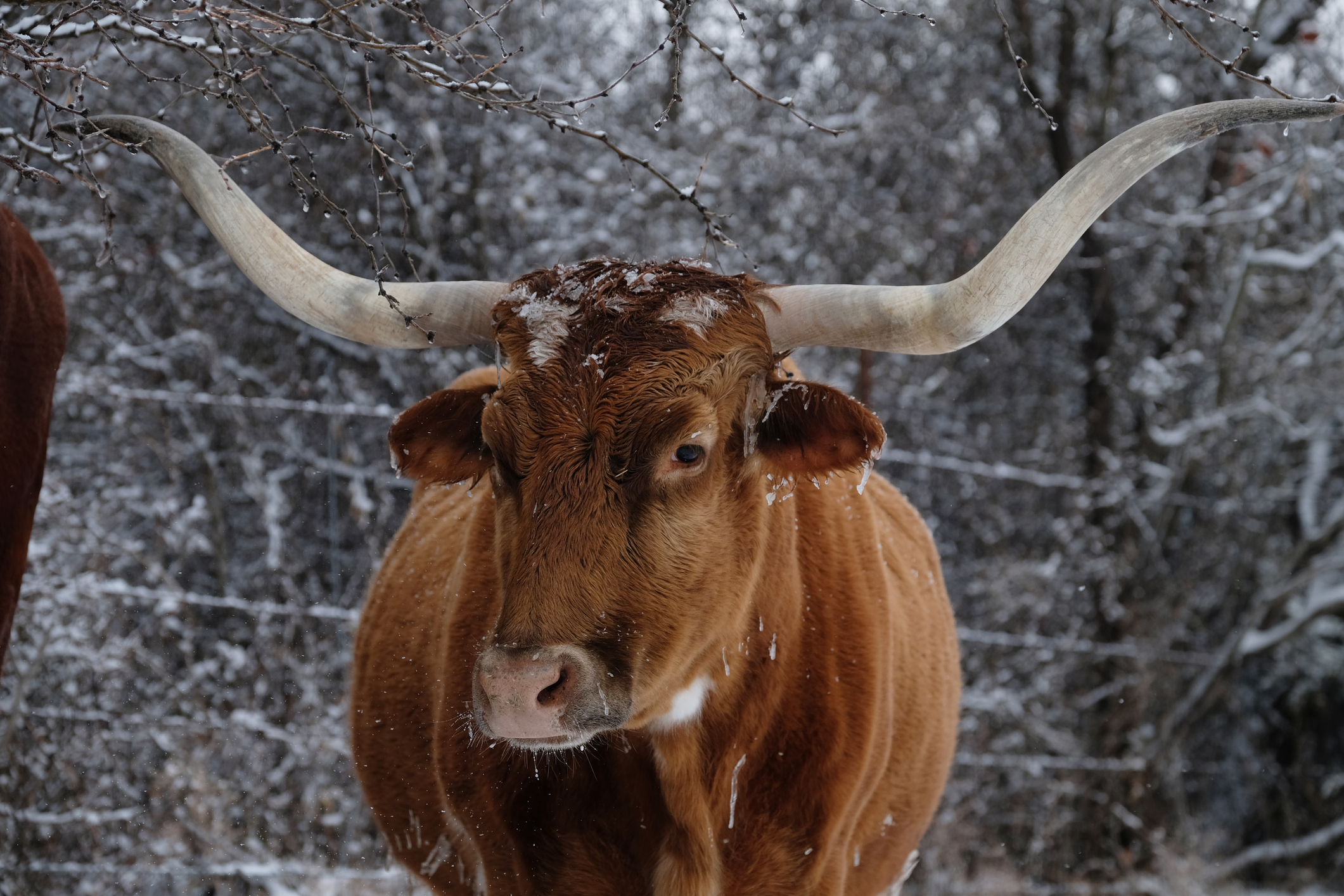
View of Texas longhorn cow in freezing cold of winter on farm. Credit: GettyImages.
In mid-January, we experienced a period of extreme cold, high winds, and a couple of inches of snow, reminding us we are very much in the peak of winter. These blasts of Arctic air and wind are common during New Jersey winters, but is something else happening in the atmosphere?
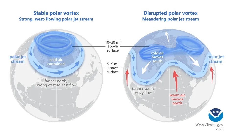
Sitting in the upper troposphere and the stratosphere is the polar vortex, a spinning mass of cold air. The polar vortex is strongest in the winter, locking in cold air at the North Pole. As the seasons change, the vortex descends toward the equator, and we experience those blasts of cold air, as we did this past month. At the bottom of the vortex lies the polar jet stream, moving from west to east. The jet is created by merging cold Arctic air and warm tropical air.

Courtesy of NOAA Climate.gov, adapted from original by NOAA.gov.
Dr. Steven Decker, the director of the Meteorology Undergraduate Program at Rutgers University, says the cold weather we experienced in mid-January resulted from a split of the polar vortex, in which one of the smaller pieces traveled to North America.
“As far as we know, that’s been a characteristic of the polar vortex. Sometimes, it’s strong and keeps the cold air near the North Pole. Other times, it’s weaker or displaced, leading to these outbreaks in cold air.”
Decker also explained that some research has indicated that climate change has resulted in more frequent polar vortex disruptions. He says that although temperatures are increasing on average, we still experience blasts of cold air due to the recurring displacements of the vortex.
“It makes sense that the polar vortex tends not to be as strong due to global warming because the planet isn’t warming uniformly. It’s warming more at the pole, overall decreasing the strength of the polar vortex and the jet stream and making it more susceptible to being dislodged and sent our way.”
The disruption and weakening of the polar vortex has led to extreme cold weather events like the Great Texas Freeze in 2021, in which the entire state was under a Winter Storm Warning, a Wind Chill Warning, and a Hard Freeze Warning. According to NOAA’s National Centers for Environmental Information, six to nine days of consecutive freezing temperatures across central Texas broke records for the longest freezing streak in the state’s recorded history. The polar vortex disruption resulted in a wavy polar jet stream; the warm air was concentrated at the pole, and the cold air sunk toward the equator.
This article was written by OPOC intern Emily Ranieri.

