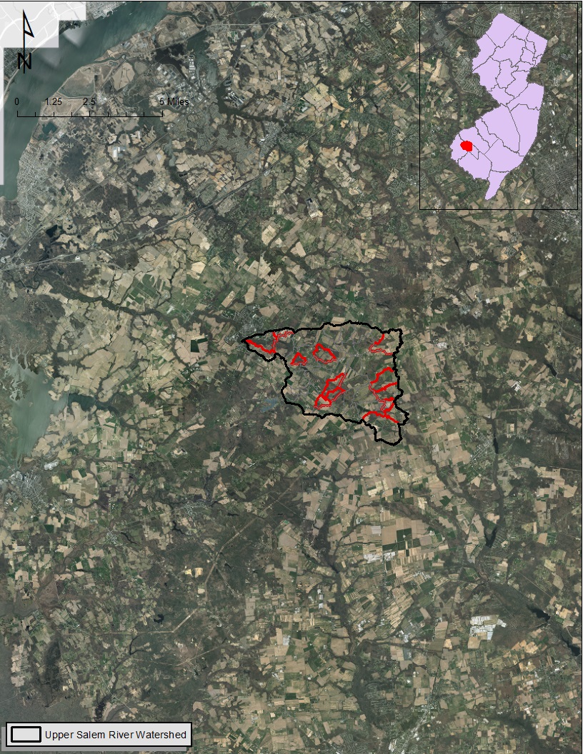
Location of Upper Salem River Watershed. The red areas represent hotspots for flooding as well as water quality degradation. Image: CRSSA.
Climate change is a pressing 21st century issue when it comes to flooding and amplification of water quality degradation due to increase in extreme precipitation events. Delaware River is the one of the longest rivers in the east of Mississippi, which starts from Hancock of New York, passes through New Jersey and Pennsylvania, and finally drains into Delaware Bay.
Among the factors are nonpoint source pollution from residential development and agricultural activities, along with climate change degrading the water quality in the Delaware River Watershed as well as creating flash flooding. The Upper Salem River Watershed, a tributary to Delaware River that spans a 15-square mile drainage area, faces both water quality degradation and flash flooding in several of its river sections.
In an effort to improve and maintain water quality and to reduce flooding in the watershed, a research team from Rutgers Center for Remote Sensing and Spatial Analysis (CRSSA), Rutgers Cooperative Extension Water Resources Program along with the Association of New Jersey Environmental Commissions and South Jersey Land and Water Trust has been awarded a $220,000 grant from the National Fish and Wildlife Foundation to implement several green infrastructure projects inside the hotspots.
According to Subhasis Giri, assistant research professor with CRSSA and the Department of Ecology, Evolution, and Natural Resources, “the end results of these on-the-ground green infrastructures implementation will enhance flooding resiliency in the communities in the Delaware River Basin as well as it will help to maintain a healthy ecosystem, which will be beneficial to fish, wildlife, and people.”

